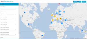
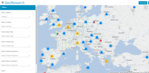
This interactive map, GeoResearch, shows active and historical international research projects, from 2012 to the present. For each project, general project information is displayed: project summary, reference, collaborators involved and a link with extended information. Various combined filters can be selected, such as the source of funding, the central theme of the work or the countries. A legend explains the meaning of each pin. In addition, the selection is displayed in three formats: Geolocated on the map, in tab format and as a direct listing of the catalog in the database. Enter and find the international research developed by UNIR iTED!
 |
 |
